Energy Atlas Leipzig: Identifying Potential for Renewable Energies
For the successful expansion of renewable energies, such as solar energy, wind power and geothermal energy, it is necessary to constantly monitor the current status of the expansion of renewable energies and potential areas for this. In this way, potentials and the progress of expansion can be identified and strategic measures can be taken promptly.
The consistent expansion of renewable energies is very important for achieving climate protection goals. To create a planning basis for this, the Digital City department is developing an energy atlas for the city of Leipzig within the scope of SPARCS and another project called CUT – Connected Urban Twins in close cooperation with other offices of the city. Data from various sources will be collected, checked for plausibility, and visualized in maps. On the basis of this data, “what-if” scenarios are to be created later.
This energy atlas thus forms the working basis for the city of Leipzig to advance the expansion of renewable energies decisively. To ensure a sustainable energy supply in the buildings, many decisions have to be made based on the local conditions:
- District heating or gas supply
- Geothermal energy or solar thermal energy
- Electricity generation through solar energy?
Some of these solutions can be cleverly combined; others cannot. To make it easier to choose between these different solutions, the Digital City department, together with the Office for Geoinformation and Land Use Planning of the City of Leipzig, is developing the Energy Atlas as a tool that presents these variants and supports their evaluation. This will enable a wide range of offices in the city of Leipzig to make more sustainable climate protection decisions and achieve climate neutrality.
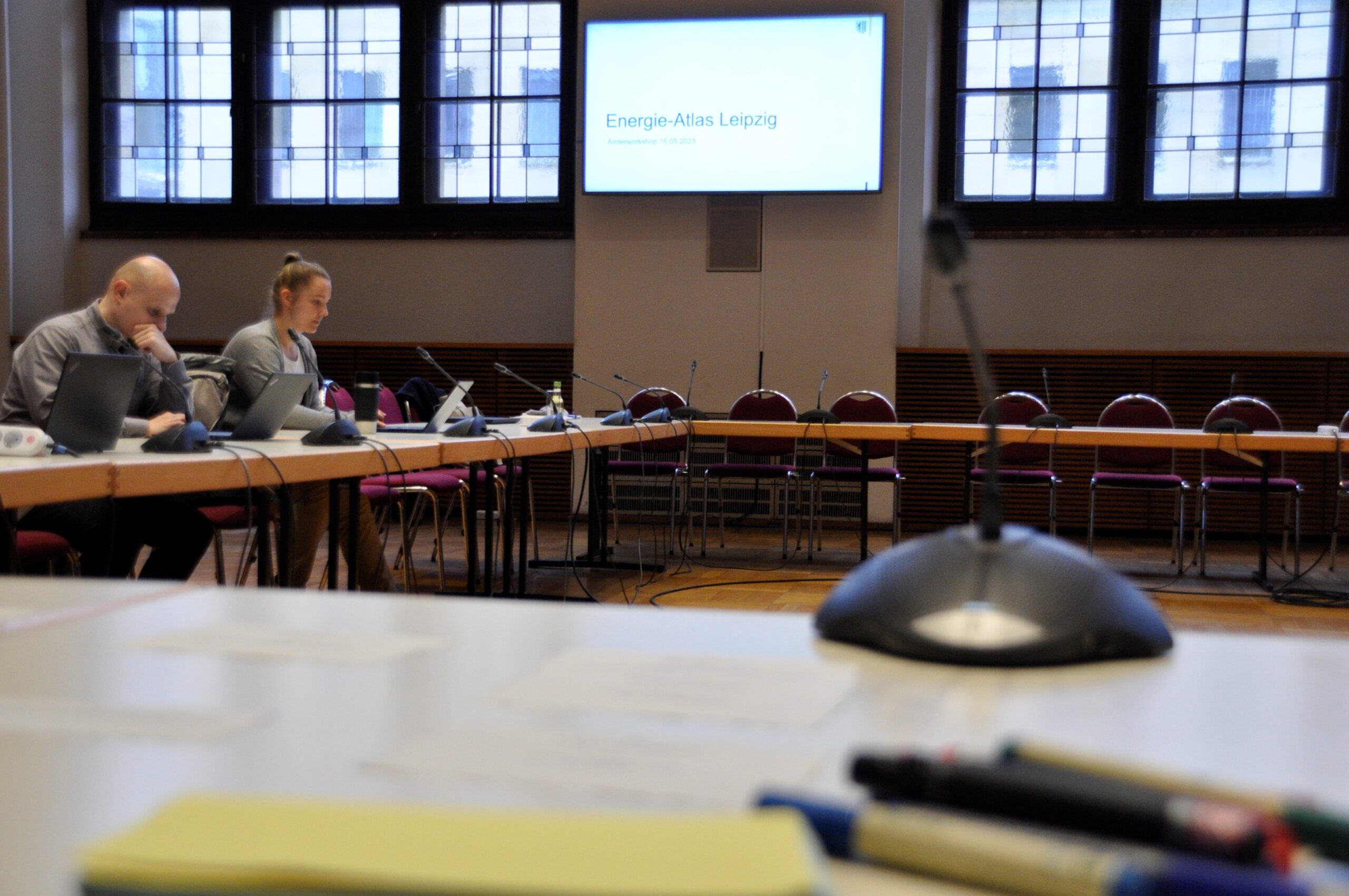
The Digital City Department (RDS) and the Office for Geoinformation and Land Use Planning (GDI) have developed a pilot for the Energy Atlas. Within the framework of an office workshop, various specialist offices of the Leipzig city administration were invited that have a connection to energy and climate topics. This workshop served to present the pilot of the Energy Atlas and to give the participants the opportunity to test it and give their feedback. The participating departments had the opportunity to test the Energy Atlas for functionality and applicability.
Important questions were answered during the workshop. These included, for example, the challenges they face with regard to energy and climate. In addition, it was discussed how the Energy Atlas could assist in addressing these challenges. Furthermore, it was discussed which other maps and representations in the Energy Atlas are of importance in order to create a comprehensive basis for planning.
The feedback from the participants represents a valuable contribution to the further development of the Energy Atlas and will be prioritized and implemented in a further process. Involving the technical offices from the beginning is of great importance in order to include their perspectives and technical expertise in the development of the Energy Atlas.

